Barbara Wheatland Geospatial Programs provides remote sensing for town of Orland
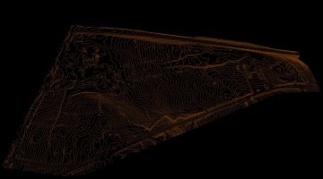
The University of Maine’s School of Forest Resources recently finished an innovative remote sensing application for the town of Orland. The Barbara Wheatland Geospatial Programs’ aerial monitoring team produced a high-resolution orthophoto — an aerial photograph that has been geometrically corrected to have a uniform scale — and Light Detection and Ranging (LiDAR) analysis for read more Barbara Wheatland Geospatial Programs provides remote sensing for town of Orland