Barbara Wheatland Geospatial Programs provides remote sensing for town of Orland
The University of Maine’s School of Forest Resources recently finished an innovative remote sensing application for the town of Orland.
The Barbara Wheatland Geospatial Programs’ aerial monitoring team produced a high-resolution orthophoto — an aerial photograph that has been geometrically corrected to have a uniform scale — and Light Detection and Ranging (LiDAR) analysis for Orland’s town office to be used for the development of a transfer station.
This was the first time the team completed a geospatial project, using its plane, with turnover in under two weeks, according to Carter Stone, manager of the Barbara Wheatland Geospatial and Analysis Laboratory.
Unlike previous work done by the lab, this was a complete aerial survey project covering all stages of a photo flight mission through data processing, according to David Sandilands, a remote sensing specialist and aerial survey pilot who led the project.
“Additionally, the workflows can now be brought into the classroom for students to learn using real data, acquired and created by the lab in a real scenario, as opposed to reading about the concepts in a book,” said Sandilands, who added the client for the Orland project has offered to share the engineering plans so students can see a final product created with remotely sensed data generated in the lab.
Last fall, the lab was approached by Foresight Engineering, a firm that bid on the design of a new transfer station in Orland. According to Sandilands, the firm, which had previously worked with the lab on a vernal pool study for the town of Lincoln, needed remote sensing specialists to perform the aerial survey portion of the project.
Sandilands, a graduate research assistant pursuing a master’s degree in forest resources, planned the mission and operated the aircraft for the Nov. 23 flight. Stone assisted with placing ground control and checkpoints around the study area before the flight.
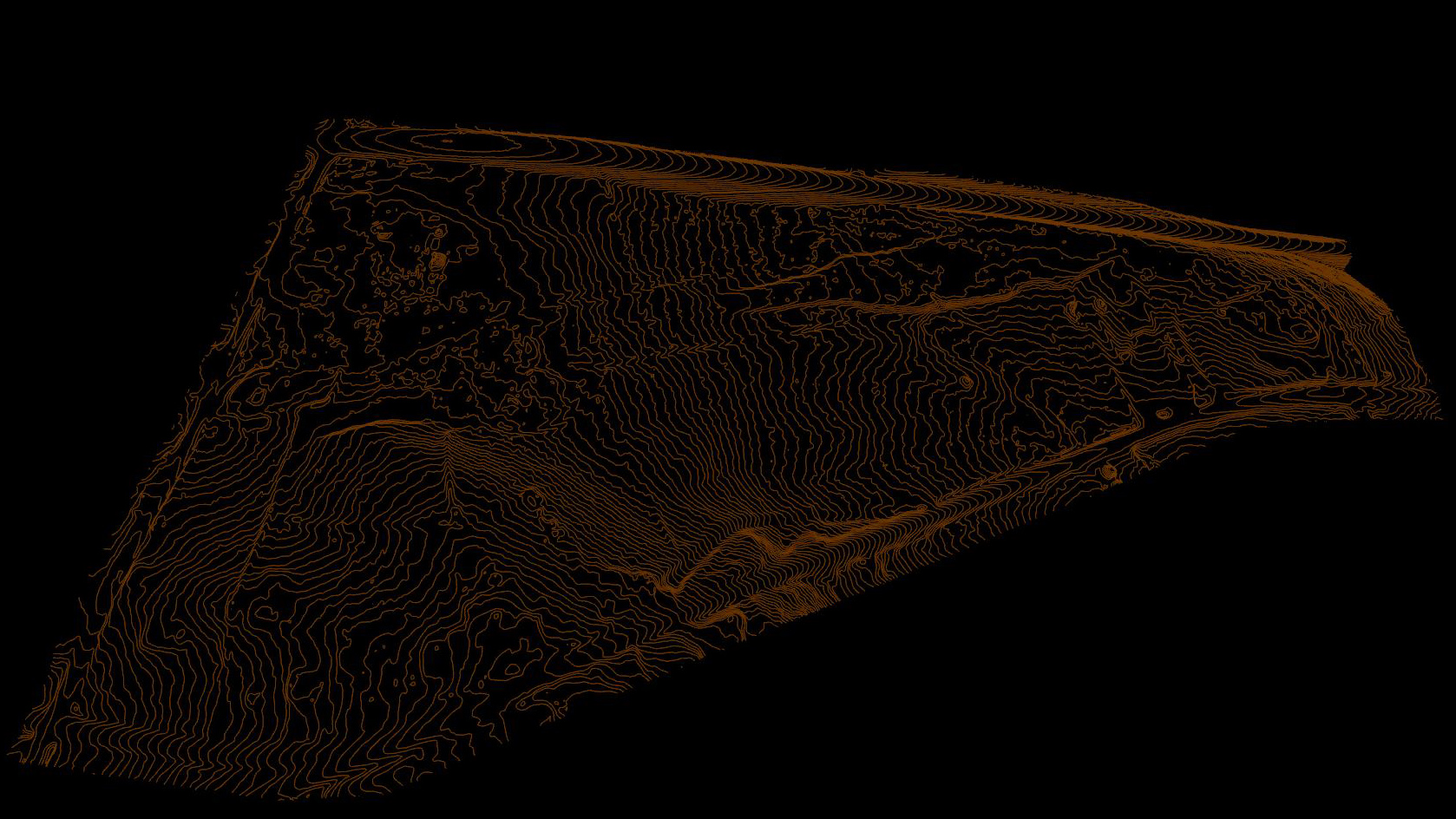
Post-processing was done using the Barbara Wheatland Geospatial Programs remote sensing workstation. The photos were aligned, control points were placed on each, and an orthophoto output was created and provided to the client. The digitized layers included road edges, roadway striping lines, driveways, structures, tree lines, utility poles and fence posts. LiDAR data was acquired from the state and used to create a detailed elevation model and the required 1-foot contour lines. The digitized layers were then draped over the elevation model to produce a 3-D representation the client can use for determining the effects of slope on proposed clearing and construction, as well as water runoff, according to Sandilands.
The final step was to run an accuracy assessment, which fell well within standards, Sandilands says.
Contact: Elyse Catalina, 207.581.3747
